


GR_70_AH_08_Cubieres_Pont-Montvert_20140922

patrickdanilo
User

Length
19 km

Max alt
1699 m

Uphill gradient
546 m
Km-Effort
28 km

Min alt
873 m

Downhill gradient
962 m
Boucle
No
Creation date :
2018-02-11 00:00:00.0
Updated on :
2022-11-03 11:51:13.824
5h36
Difficulty : Medium

FREE GPS app for hiking
 SityTrail
IGN / Geographical institutes
SityTrail Plus
The world is yours!
About
Trail Walking of 19 km to be discovered at Occitania, Lozère, Cubières. This trail is proposed by patrickdanilo.
Description
Randonnée Marche de 19 km à découvrir à Cubières, Lozère, Occitanie. Cette randonnée est proposée par patrickdanilo
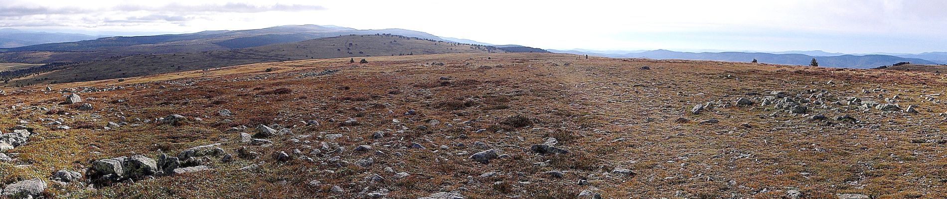
Photos


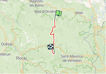
Positioning
Country:
France
Region :
Occitania
Department/Province :
Lozère
Municipality :
Cubières
Location:
Unknown
Start:(Dec)
Start:(UTM)
559490 ; 4922220 (31T) N.
Comments