


Ghhh

Valery01
User

Length
22 km

Max alt
308 m

Uphill gradient
408 m
Km-Effort
27 km

Min alt
175 m

Downhill gradient
352 m
Boucle
No
Creation date :
2022-12-02 10:50:43.0
Updated on :
2022-12-05 10:21:10.654
1h07
Difficulty : Unknown

FREE GPS app for hiking
 SityTrail
IGN / Geographical institutes
SityTrail Plus
The world is yours!
About
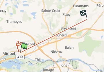
Trail Trail of 22 km to be discovered at Auvergne-Rhône-Alpes, Ain, Saint-Maurice-de-Beynost. This trail is proposed by Valery01.
Positioning
Country:
France
Region :
Auvergne-Rhône-Alpes
Department/Province :
Ain
Municipality :
Saint-Maurice-de-Beynost
Location:
Unknown
Start:(Dec)
Start:(UTM)
653901 ; 5076526 (31T) N.
Comments