


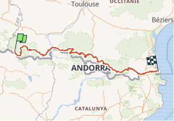
GR 10 Cauterets à Banyuls

chasle
User

Length
601 km

Max alt
2744 m

Uphill gradient
36491 m
Km-Effort
1092 km

Min alt
4 m

Downhill gradient
37950 m
Boucle
No
Creation date :
2022-12-07 16:01:10.754
Updated on :
2022-12-07 16:03:49.329
0m
Difficulty : Difficult

FREE GPS app for hiking
 SityTrail
IGN / Geographical institutes
SityTrail Plus
The world is yours!
About
Trail Walking of 601 km to be discovered at Occitania, Hautespyrenees, Cauterets. This trail is proposed by chasle.
Positioning
Country:
France
Region :
Occitania
Department/Province :
Hautespyrenees
Municipality :
Cauterets
Location:
Unknown
Start:(Dec)
Start:(UTM)
734024 ; 4748366 (30T) N.
Comments