


Chevannes

HF89
User
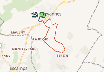

Length
5.3 km

Max alt
237 m

Uphill gradient
78 m
Km-Effort
6.3 km

Min alt
163 m

Downhill gradient
78 m
Boucle
Yes
Creation date :
2022-12-09 13:06:48.346
Updated on :
2022-12-09 14:36:03.113
1h28
Difficulty : Very easy

FREE GPS app for hiking
 SityTrail
IGN / Geographical institutes
SityTrail Plus
The world is yours!
About
Trail Walking of 5.3 km to be discovered at Bourgogne-Franche-Comté, Yonne, Chevannes. This trail is proposed by HF89.
Description
Petite boucle aux alentours de Chevannes
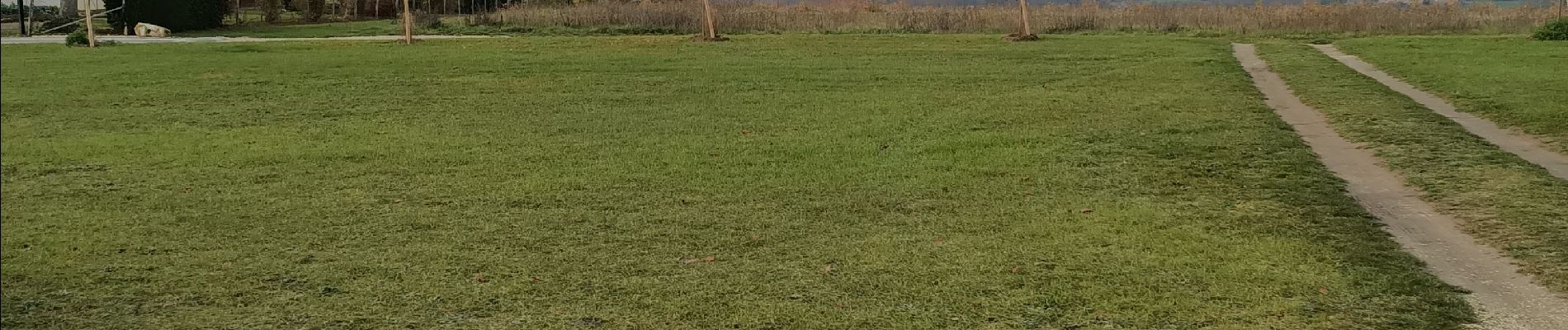
Photos

Positioning
Country:
France
Region :
Bourgogne-Franche-Comté
Department/Province :
Yonne
Municipality :
Chevannes
Location:
Unknown
Start:(Dec)
Start:(UTM)
536397 ; 5288483 (31T) N.
Comments