Trail Walking Lavans-Vuillafans - lavans vuillafans - Photo
© OpenStreetMap contributors
Length
Length
14.6 km
Max alt
Max alt
758 m
Uphill gradient
Uphill gradient
271 m
Km-Effort
Km-Effort  
18.2 km
Min alt
Min alt
624 m
Downhill gradient
Downhill gradient
271 m
Boucle
Boucle
Yes
Creation date :
2022-12-10 09:23:54.741
Updated on :
2022-12-13 16:55:54.353

(0 Reviews)

Walking
Walking
2h32
Difficulty : Easy

Scan this QR Code to open this trail in the SityTrail application

FREE GPS app for hiking

Logo SityTrail SityTrail

IGN / Geographical institutes

Download SityTrail from the App Store Download SityTrail from Google Play

Logo SityTrail SityTrail World

The world is yours!

Download SityTrail from the App Store Download SityTrail from Google Play Download SityTrail on Huawei AppGallery

About

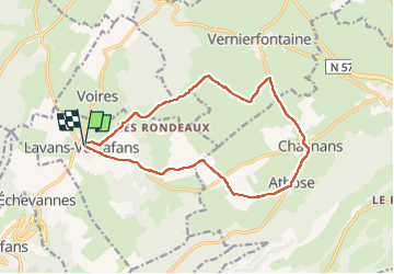
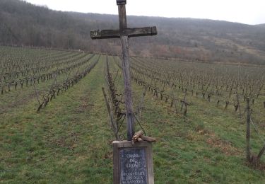
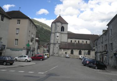
Trail Walking of 14.6 km to be discovered at Bourgogne-Franche-Comté, Doubs, Lavans-Vuillafans. This trail is proposed by eltonnermou.

Description

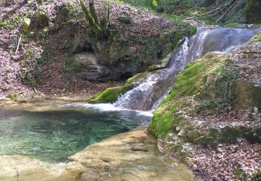
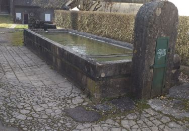
randonnée pieds propres, entièrement.
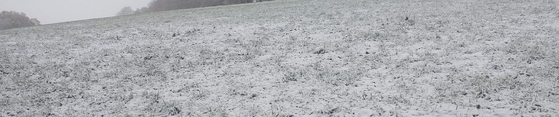
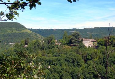
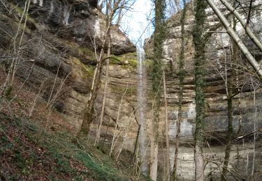
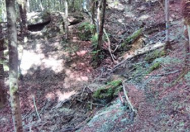
rando agréable sur le premier plateau offrant très souvent une vue  sur l'horizon à 200°. Par terrain enneigé et sous un radieux soleil, cette rando prend un tout autre intérêt. La traversée des villages offre à notre vue de jolies demeures et les parties boisées leurs charmes habituels. Laissez vous surprendre par le passage de chamois et autre animaux maitres des lieux.  

Elevation profile

Photos

Positioning

Country:
France
Region :
Bourgogne-Franche-Comté
Department/Province :
Doubs
Municipality :
Lavans-Vuillafans
Location:
Unknown
Start:(UTM)
290836 ; 5218477 (32T) N.

Trails nearby

Trail Walking Vuillafans - cascade et source - Photo
Walking
dadodeca

Walking

Medium
(1)
Vuillafans, Bourgogne-Franche-Comté, Doubs, France
5.9 km | 8.9 km-effort
2h 26min
Yes
Trail Walking Vuillafans - Autour de Vuillafans - Photo
Walking
tracegps

Walking

Difficult
(1)
Vuillafans, Bourgogne-Franche-Comté, Doubs, France
11 km | 17.8 km-effort
4h 0min
Yes
Trail Walking Lods - la roche Hautepierre.   Lods - Photo
Walking
eltonnermou

Walking

Medium
(1)
Lods, Bourgogne-Franche-Comté, Doubs, France
13.1 km | 21 km-effort
2h 15min
Yes
Trail Walking Vuillafans - vuillafans cascades tuffière et raffenot - Photo
Walking
eltonnermou

Walking

Easy
Vuillafans, Bourgogne-Franche-Comté, Doubs, France
18 km | 40 km-effort
3h 15min
Yes
Trail Walking Vuillafans - vuillafans  - Photo
Walking
eltonnermou

Walking

Medium
(1)
Vuillafans, Bourgogne-Franche-Comté, Doubs, France
11.1 km | 17.2 km-effort
1h 46min
Yes
Trail Walking Montgesoye - Montgesoye - Photo
Walking
eltonnermou

Walking

Medium
(1)
Montgesoye, Bourgogne-Franche-Comté, Doubs, France
21 km | 30 km-effort
3h 16min
Yes
Trail Walking  - Mongesoye 12 déc 2019 CAF - Photo
Walking
TRIMAILLE

Walking

Difficult
, Bourgogne-Franche-Comté, Doubs, France
19.3 km | 27 km-effort
7h 3min
Yes
Trail Walking Vuillafans - cascade et source - Photo
Walking
dadodeca

Walking

Medium
Vuillafans, Bourgogne-Franche-Comté, Doubs, France
5.9 km | 8.9 km-effort
2h 26min
Yes
Trail Walking Vuillafans - La Source Bleue - Vuillafans - Photo
Walking
tracegps

Walking

Medium
(1)
Vuillafans, Bourgogne-Franche-Comté, Doubs, France
10.2 km | 15 km-effort
2h 10min
No


Close
My subscriptions