


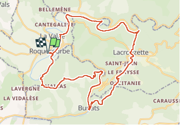

32 km | 41 km-effort


User


FREE GPS app for hiking
 SityTrail
IGN / Geographical institutes
SityTrail World
The world is yours!
Trail Walking of 27 km to be discovered at Occitania, Tarn, Roquecourbe. This trail is proposed by Frayssinet.
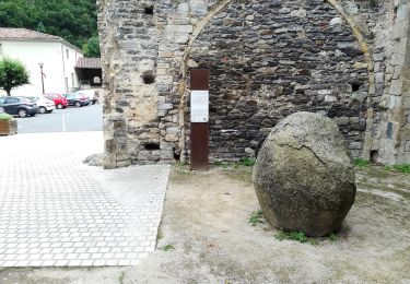
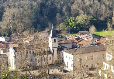
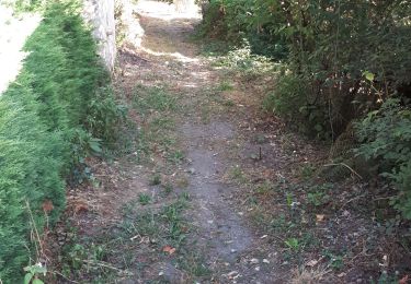
Passage à Burlats. Saut de la truite

Mountain bike
Mountain bike
On foot
Walking
Walking


Mountain bike
Walking