


Malmont 10 km

rvapeldo
User GUIDE
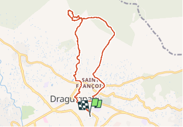

Length
10.1 km

Max alt
551 m

Uphill gradient
381 m
Km-Effort
15.2 km

Min alt
182 m

Downhill gradient
384 m
Boucle
Yes
Creation date :
2022-12-17 08:48:28.0
Updated on :
2022-12-17 15:18:30.09
4h32
Difficulty : Medium

FREE GPS app for hiking
 SityTrail
IGN / Geographical institutes
SityTrail Plus
The world is yours!
About
Trail Walking of 10.1 km to be discovered at Provence-Alpes-Côte d'Azur, Var, Draguignan. This trail is proposed by rvapeldo.
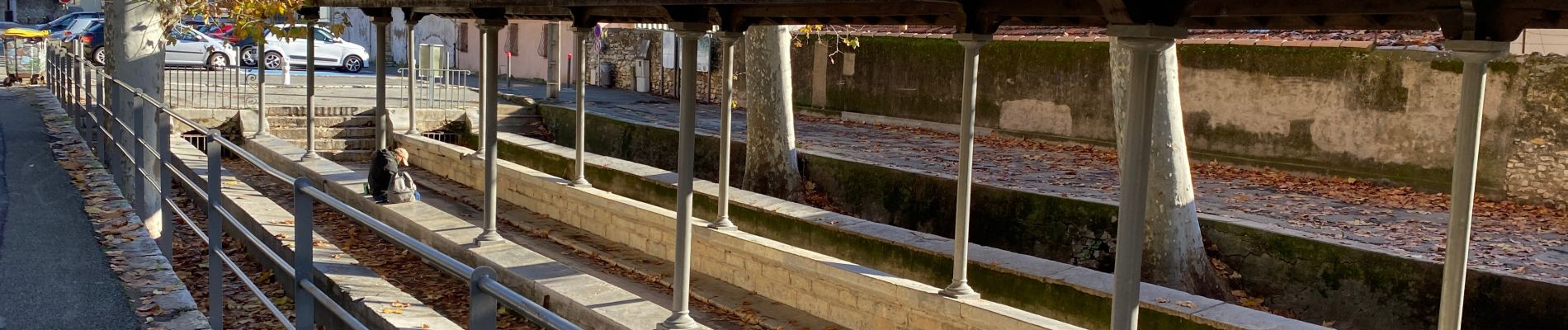
Photos


Positioning
Country:
France
Region :
Provence-Alpes-Côte d'Azur
Department/Province :
Var
Municipality :
Draguignan
Location:
Unknown
Start:(Dec)
Start:(UTM)
295438 ; 4823187 (32T) N.
Comments