


Pic Montaut

chasle
User
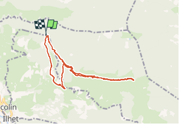

Length
10.6 km

Max alt
1706 m

Uphill gradient
687 m
Km-Effort
19.8 km

Min alt
1017 m

Downhill gradient
692 m
Boucle
Yes
Creation date :
2022-12-11 07:56:53.166
Updated on :
2022-12-19 09:32:09.534
3h20
Difficulty : Difficult

FREE GPS app for hiking
 SityTrail
IGN / Geographical institutes
SityTrail Plus
The world is yours!
About
Trail Walking of 10.6 km to be discovered at Occitania, Hautespyrenees, Sarrancolin. This trail is proposed by chasle.
Positioning
Country:
France
Region :
Occitania
Department/Province :
Hautespyrenees
Municipality :
Sarrancolin
Location:
Unknown
Start:(Dec)
Start:(UTM)
287618 ; 4762425 (31T) N.
Comments