


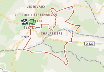

9.6 km | 13.1 km-effort

User GUIDE


FREE GPS app for hiking
 SityTrail
IGN / Geographical institutes
SityTrail World
The world is yours!
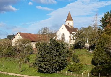
Trail Walking of 11 km to be discovered at Auvergne-Rhône-Alpes, Puy-de-Dôme, Teilhet. This trail is proposed by jagarnier.
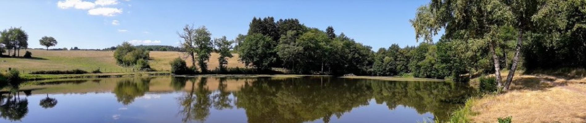
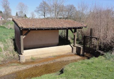
Circuit largement ombragé en sous bois de feuillus, dont une belle hêtraie. Les chemins agréables sont agrémentés de petits étangs.


On foot
On foot

On foot

Running

Walking
Walking
Other activity