


la Fouillouse du 23-12-2022

VANDERPUTTENMi
User GUIDE
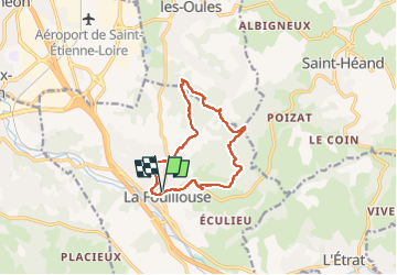

Length
11 km

Max alt
525 m

Uphill gradient
280 m
Km-Effort
14.7 km

Min alt
413 m

Downhill gradient
281 m
Boucle
Yes
Creation date :
2022-12-23 13:26:53.706
Updated on :
2022-12-23 21:00:10.905
2h24
Difficulty : Difficult

FREE GPS app for hiking
 SityTrail
IGN / Geographical institutes
SityTrail Plus
The world is yours!
About
Trail Walking of 11 km to be discovered at Auvergne-Rhône-Alpes, Loire, La Fouillouse. This trail is proposed by VANDERPUTTENMi.
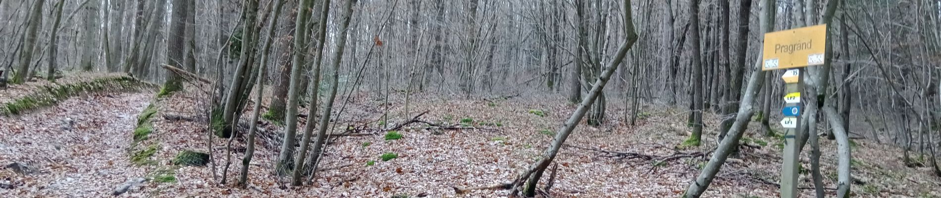
Photos

Positioning
Country:
France
Region :
Auvergne-Rhône-Alpes
Department/Province :
Loire
Municipality :
La Fouillouse
Location:
Unknown
Start:(Dec)
Start:(UTM)
603067 ; 5039492 (31T) N.
Comments