


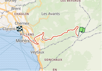

5.4 km | 9.8 km-effort

User


FREE GPS app for hiking
 SityTrail
IGN / Geographical institutes
SityTrail World
The world is yours!
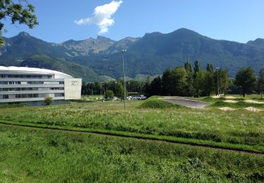
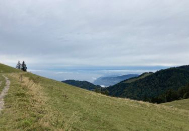
Trail Walking of 9.2 km to be discovered at Vaud, District de la Riviera-Pays-d’Enhaut, Montreux. This trail is proposed by aubr.

On foot
Walking
Cycle
Walking

Walking
Walking

On foot

Running
On foot