


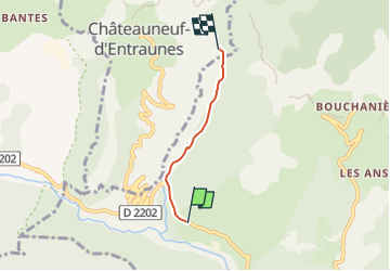

13.1 km | 23 km-effort


User


FREE GPS app for hiking
 SityTrail
IGN / Geographical institutes
SityTrail World
The world is yours!
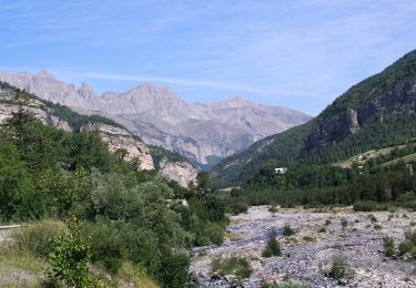
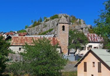
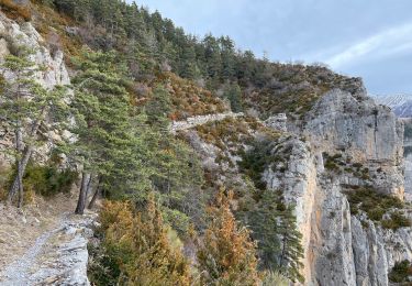
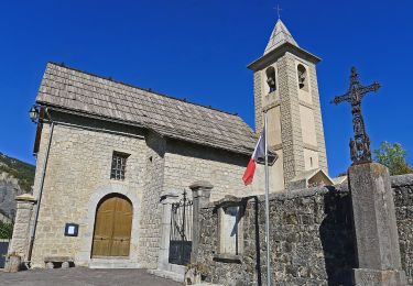
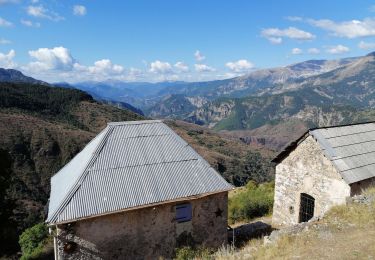
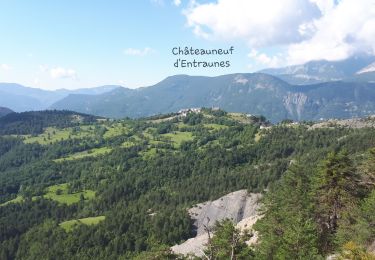
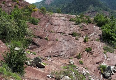
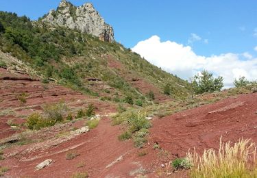
Trail Walking of 2.6 km to be discovered at Provence-Alpes-Côte d'Azur, Maritime Alps, Guillaumes. This trail is proposed by remirando.
De la Ribieres au barrage de la Barlatte
On foot
On foot
Walking

On foot
On foot
Walking
Walking
Walking
Walking