


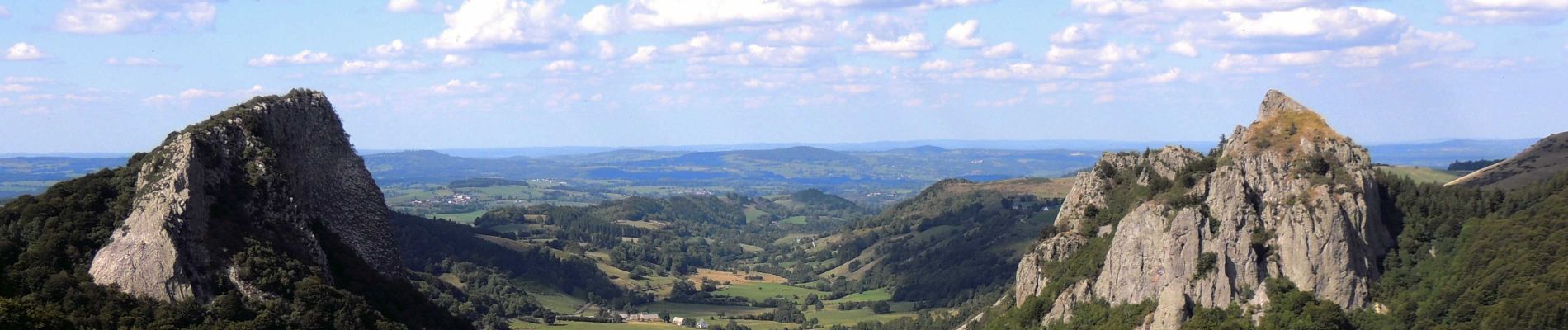
Guery_Tuiliere_Sanadoire_2

jagarnier
User GUIDE


3h30
Difficulty : Medium

FREE GPS app for hiking
 SityTrail
IGN / Geographical institutes
SityTrail Plus
The world is yours!
About
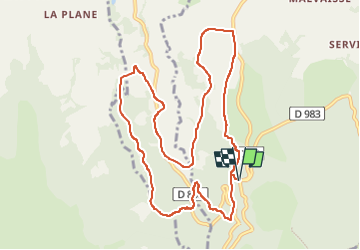
Trail Walking of 11.2 km to be discovered at Auvergne-Rhône-Alpes, Puy-de-Dôme, Orcival. This trail is proposed by jagarnier.
Description
Ces deux pitons rocheux - les roches Tuilière et Sanadoire - émergent de la hêtraie du Guéry comme deux sentinelles veillant sur la vallée glaciaire de Fontsalade. Magnifiques panoramas sur la vallée glaciaire.
Photos

Positioning
Comments