


Randonnée Club

FPortier
User
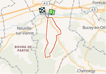

Length
8.7 km

Max alt
234 m

Uphill gradient
172 m
Km-Effort
11 km

Min alt
130 m

Downhill gradient
178 m
Boucle
No
Creation date :
2022-12-27 08:04:35.501
Updated on :
2022-12-27 12:36:14.642
2h34
Difficulty : Medium

FREE GPS app for hiking
 SityTrail
IGN / Geographical institutes
SityTrail Plus
The world is yours!
About
Trail Walking of 8.7 km to be discovered at Grand Est, Aube, Estissac. This trail is proposed by FPortier.
Description
Rando avec club Bucey
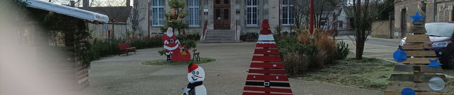
Photos


Positioning
Country:
France
Region :
Grand Est
Department/Province :
Aube
Municipality :
Estissac
Location:
Unknown
Start:(Dec)
Start:(UTM)
559966 ; 5346168 (31U) N.
Comments