


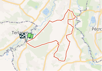

23 km | 28 km-effort

User


FREE GPS app for hiking
 SityTrail
IGN / Geographical institutes
SityTrail World
The world is yours!
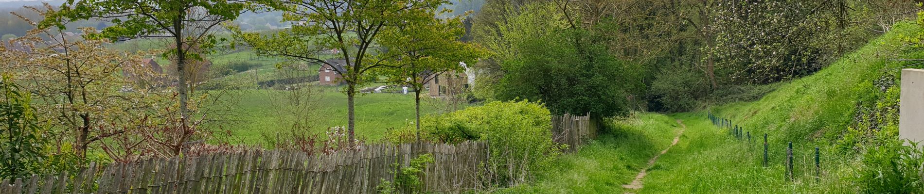
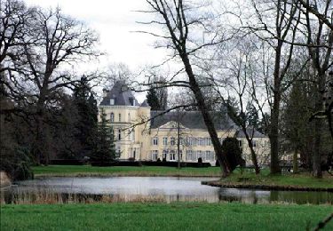
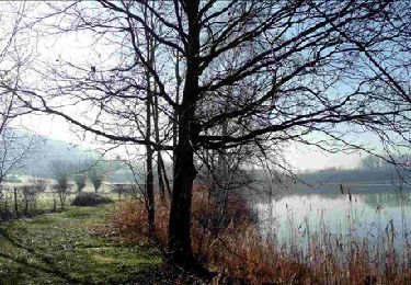
Trail Walking of 8.4 km to be discovered at Flanders, Flemish Brabant, Huldenberg. This trail is proposed by GaetanHouart.


Walking

Walking
Walking
Walking
Walking

Walking
Walking
Walking
Walking
circuit plus d actualité. certains chemins n existent plus ou sont déviés. voir ma rando du même nom 2023