


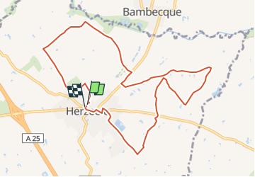

12.7 km | 13.4 km-effort


User


FREE GPS app for hiking
 SityTrail
IGN / Geographical institutes
SityTrail World
The world is yours!
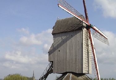
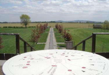
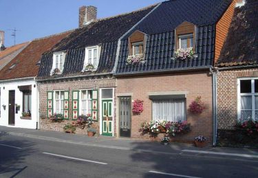
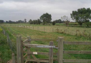
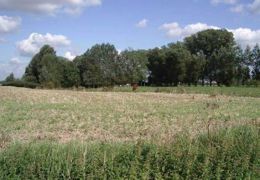
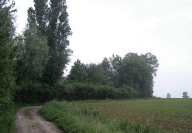
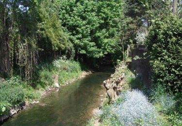
Trail Walking of 10 km to be discovered at Hauts-de-France, Nord, Herzeele. This trail is proposed by DELEPLANQUEM.
Animée le 27 mai 2000 par Randsams

Equestrian
Equestrian
Walking
Walking
Walking
Walking
Walking
Walking
Walking