


Saint Anne d' Evenos

cousam
User
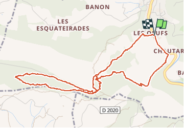

Length
6.4 km

Max alt
385 m

Uphill gradient
410 m
Km-Effort
11.9 km

Min alt
134 m

Downhill gradient
410 m
Boucle
Yes
Creation date :
2023-01-01 12:36:04.463
Updated on :
2023-01-01 19:38:36.186
2h46
Difficulty : Difficult

FREE GPS app for hiking
 SityTrail
IGN / Geographical institutes
SityTrail Plus
The world is yours!
About
Trail Walking of 6.4 km to be discovered at Provence-Alpes-Côte d'Azur, Var, Évenos. This trail is proposed by cousam.
Description
Assez Rock en Rool entre KM 1,5 et 3 .Bien suivre les points bleu.
Photos


Positioning
Country:
France
Region :
Provence-Alpes-Côte d'Azur
Department/Province :
Var
Municipality :
Évenos
Location:
Unknown
Start:(Dec)
Start:(UTM)
730018 ; 4783047 (31T) N.
Comments