


atterrissage tenerife Sud

jmheydorff
User
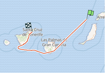

Length
398 km

Max alt
384 m

Uphill gradient
3621 m
Km-Effort
446 km

Min alt
-1 m

Downhill gradient
3603 m
Boucle
No
Creation date :
2023-01-03 08:41:05.028
Updated on :
2023-01-03 11:49:11.837
1h52
Difficulty : Very difficult

FREE GPS app for hiking
 SityTrail
IGN / Geographical institutes
SityTrail Plus
The world is yours!
About
Trail Walking of 398 km to be discovered at . This trail is proposed by jmheydorff.
Positioning
Country:
Unknown
Region :
Unknown
Department/Province :
Unknown
Municipality :
Unknown
Location:
Unknown
Start:(Dec)
Start:(UTM)
577922 ; 3194943 (28R) N.
Comments