


Langres

MAUVAGE Patrick
User

Length
788 m

Max alt
472 m

Uphill gradient
11 m
Km-Effort
941 m

Min alt
453 m

Downhill gradient
13 m
Boucle
No
Creation date :
2023-01-03 13:29:22.0
Updated on :
2023-01-03 13:45:59.355
16m
Difficulty : Easy

FREE GPS app for hiking
 SityTrail
IGN / Geographical institutes
SityTrail Plus
The world is yours!
About
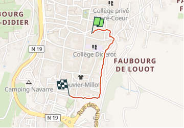
Trail Walking of 788 m to be discovered at Grand Est, Haute-Marne, Langres. This trail is proposed by MAUVAGE Patrick.
Photos


Positioning
Country:
France
Region :
Grand Est
Department/Province :
Haute-Marne
Municipality :
Langres
Location:
Langres
Start:(Dec)
Start:(UTM)
674603 ; 5303696 (31T) N.
Comments