


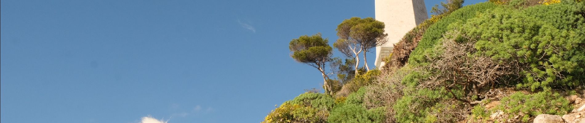
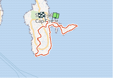
Cap Ferrat
© OpenStreetMap contributors


3h20
Difficulty : Medium


Length
8.2 km
Max alt
128 m
Uphill gradient
212 m
Km-Effort
11 km
Min alt
0 m
Downhill gradient
200 m
Boucle
No
Creation date :
2023-01-05 11:19:57.461
Updated on :
2023-01-06 18:38:11.444
3h20
Difficulty : Medium
FREE GPS app for hiking
 SityTrail
IGN / Geographical institutes
SityTrail Plus
The world is yours!
About
Trail Walking of 8.2 km to be discovered at Provence-Alpes-Côte d'Azur, Maritime Alps, Saint-Jean-Cap-Ferrat. This trail is proposed by Jean-François Thibaud.
Description
Balade écourtée car le sentier du littoral sur la partie ouest du cap était fermé pour cause d'éboulement. Le retour s'est fait en coupant par le sémaphore.
Photos


Positioning
Country:
France
Region :
Provence-Alpes-Côte d'Azur
Department/Province :
Maritime Alps
Municipality :
Saint-Jean-Cap-Ferrat
Location:
Unknown
Start:(Dec)
Start:(UTM)
365844 ; 4838577 (32T) N.
Comments