


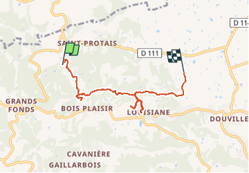
La boucle

sameja
User

Length
8.5 km

Max alt
109 m

Uphill gradient
238 m
Km-Effort
11.9 km

Min alt
28 m

Downhill gradient
297 m
Boucle
No
Creation date :
2022-12-30 12:56:56.0
Updated on :
2023-01-06 13:10:51.909
1h42
Difficulty : Difficult

FREE GPS app for hiking
 SityTrail
IGN / Geographical institutes
SityTrail Plus
The world is yours!
About
Trail Trail of 8.5 km to be discovered at Guadeloupe, Unknown, Sainte-Anne. This trail is proposed by sameja.
Description
Valera
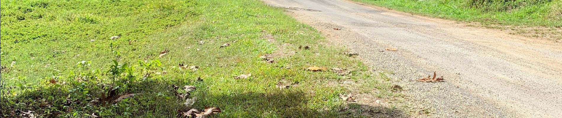
Photos


Positioning
Country:
France
Region :
Guadeloupe
Department/Province :
Unknown
Municipality :
Sainte-Anne
Location:
Unknown
Start:(Dec)
Start:(UTM)
669191 ; 1799892 (20Q) N.
Comments