


Pont gourmier Recoules Nasbinals Le Bes

antignacs
User GUIDE
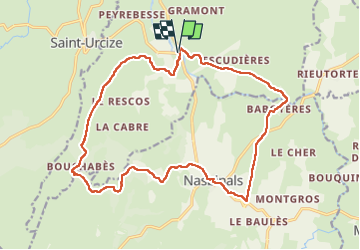

Length
19.8 km

Max alt
1272 m

Uphill gradient
410 m
Km-Effort
25 km

Min alt
1065 m

Downhill gradient
413 m
Boucle
Yes
Creation date :
2023-01-06 08:35:58.0
Updated on :
2023-01-06 16:13:57.914
4h55
Difficulty : Easy

FREE GPS app for hiking
 SityTrail
IGN / Geographical institutes
SityTrail Plus
The world is yours!
About
Trail Walking of 19.8 km to be discovered at Occitania, Lozère, Recoules-d'Aubrac. This trail is proposed by antignacs.
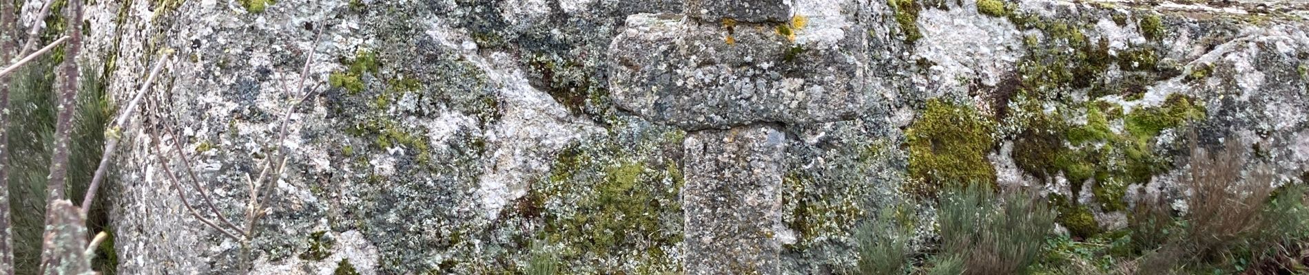
Photos


Positioning
Country:
France
Region :
Occitania
Department/Province :
Lozère
Municipality :
Recoules-d'Aubrac
Location:
Unknown
Start:(Dec)
Start:(UTM)
502736 ; 4948925 (31T) N.
Comments