#230109 - Loupoigne, réserve naturelle de la sucrerie

Randos Ouvertes
User
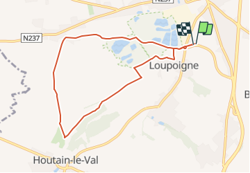

Length
7.5 km

Max alt
147 m

Uphill gradient
89 m
Km-Effort
8.7 km

Min alt
106 m

Downhill gradient
89 m
Boucle
Yes
Creation date :
2023-01-09 14:19:34.991
Updated on :
2024-01-22 15:37:41.071
1h58
Difficulty : Medium

FREE GPS app for hiking
 SityTrail
IGN / Geographical institutes
SityTrail Plus
The world is yours!
About
Trail Walking of 7.5 km to be discovered at Wallonia, Walloon Brabant, Genappe. This trail is proposed by Randos Ouvertes.
Description
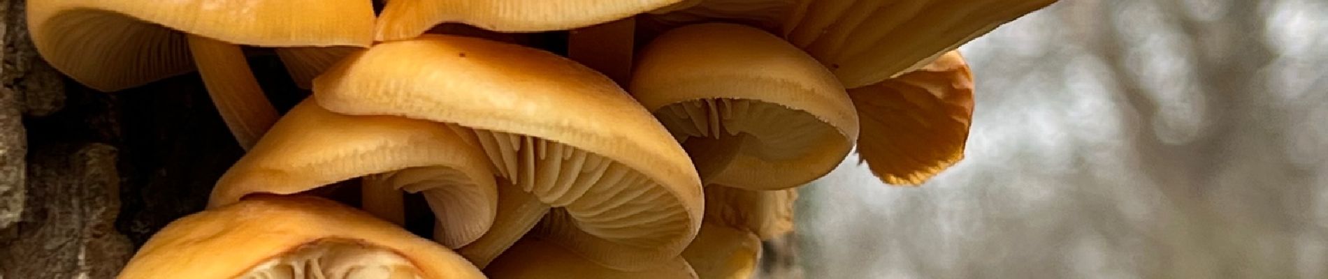
Crédit photos : Sophie Vermote
Photos


Positioning
Country:
Belgium
Region :
Wallonia
Department/Province :
Walloon Brabant
Municipality :
Genappe
Location:
Unknown
Start:(Dec)
Start:(UTM)
602465 ; 5606452 (31U) N.
Comments