Trail Walking Vendres - Vendres, l'étang  - Photo

Vendres, l'étang

© OpenStreetMap contributors
Length
Length
16.1 km
Max alt
Max alt
9 m
Uphill gradient
Uphill gradient
78 m
Km-Effort
Km-Effort  
17.1 km
Min alt
Min alt
-2 m
Downhill gradient
Downhill gradient
78 m
Boucle
Boucle
Yes
Creation date :
2023-01-08 08:04:20.409
Updated on :
2023-01-10 08:45:55.367

(0 Reviews)

Walking
Walking
4h30
Difficulty : Easy
Mountain bike
Mountain bike
2h00
Difficulty : Easy
Hybrid bike
Hybrid bike
2h00
Difficulty : Easy

Scan this QR Code to open this trail in the SityTrail application

FREE GPS app for hiking

Logo SityTrail SityTrail

IGN / Geographical institutes

Download SityTrail from the App Store Download SityTrail from Google Play

Logo SityTrail SityTrail Plus

The world is yours!

Download SityTrail from the App Store Download SityTrail from Google Play Download SityTrail on Huawei AppGallery

About

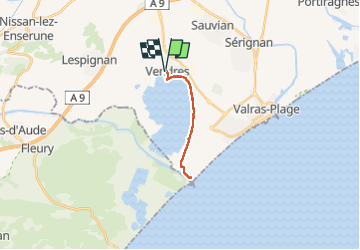
Trail Walking of 16.1 km to be discovered at Occitania, Hérault, Vendres. This trail is proposed by Raymond DAVID .

Description

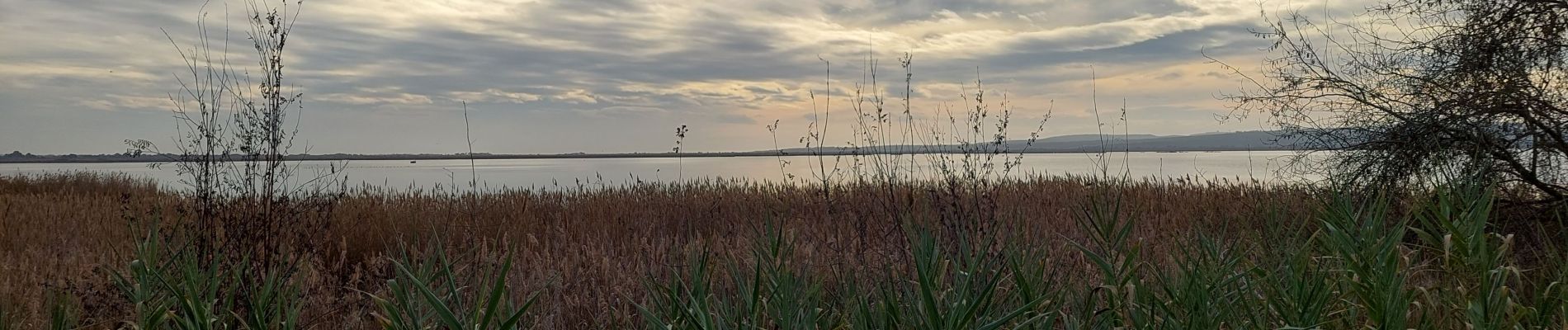
Balade sans difficulté en aller retour (peut se faire en partant du Chichoulet). A voir : la villa Temple de Vénus, l'aqueduc, le port du Chichoulet et les oiseaux aquatiques.
A ne pas faire quand il fait chaud, aucune ombre.

Elevation profile

Photos

Positioning

Country:
France
Region :
Occitania
Department/Province :
Hérault
Municipality :
Vendres
Location:
Unknown
Start:(UTM)
518045 ; 4790595 (31T) N.


Close
My subscriptions