


hauts-de-st-aubin

bubuserge
User

Length
12.8 km

Max alt
59 m

Uphill gradient
107 m
Km-Effort
14.2 km

Min alt
12 m

Downhill gradient
107 m
Boucle
Yes
Creation date :
2023-01-11 08:42:09.102
Updated on :
2023-01-11 08:43:52.494
3h13
Difficulty : Difficult

FREE GPS app for hiking
 SityTrail
IGN / Geographical institutes
SityTrail Plus
The world is yours!
About
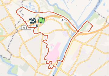
Trail Walking of 12.8 km to be discovered at Pays de la Loire, Maine-et-Loire, Angers. This trail is proposed by bubuserge.
Positioning
Country:
France
Region :
Pays de la Loire
Department/Province :
Maine-et-Loire
Municipality :
Angers
Location:
Unknown
Start:(Dec)
Start:(UTM)
683352 ; 5262866 (30T) N.
Comments