


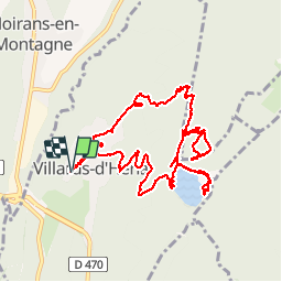


13.8 km | 18.3 km-effort

User


FREE GPS app for hiking
 SityTrail
IGN / Geographical institutes
SityTrail World
The world is yours!
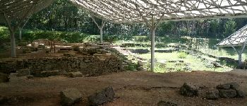
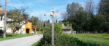
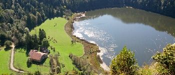
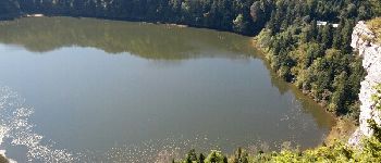
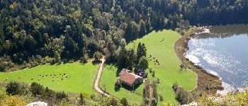
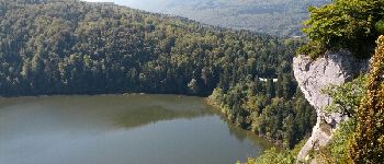
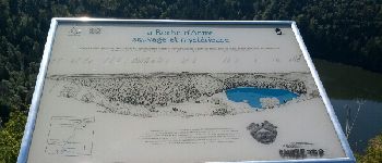
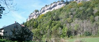
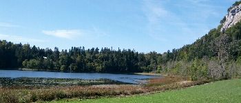
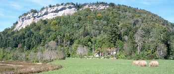
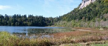
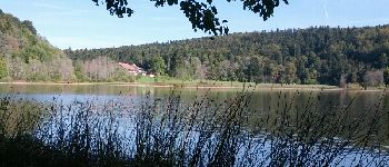
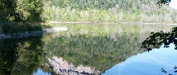
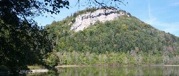
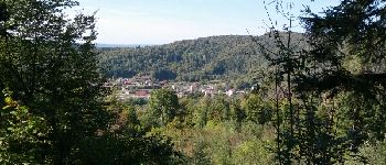
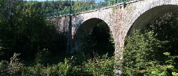
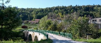
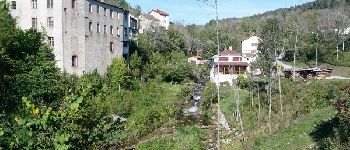
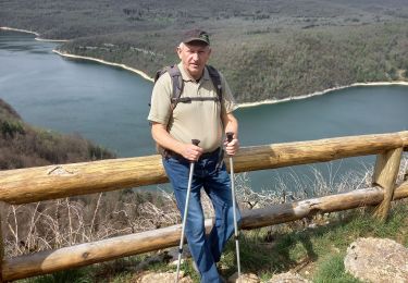
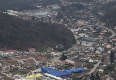
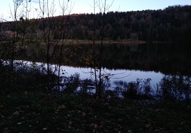
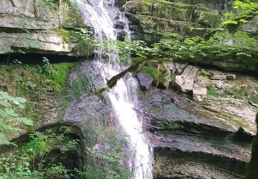
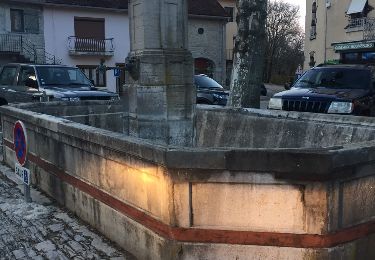
Trail Walking of 13.1 km to be discovered at Bourgogne-Franche-Comté, Jura, Villards-d'Héria. This trail is proposed by albert39.
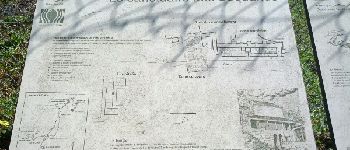
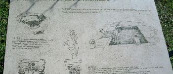
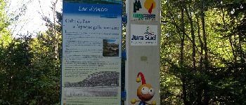
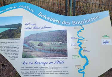
Magnifique ballade ! deux point fort : site Gallo-Romain et le Lac d'Antre pour les amoureux de la nature (pour tous).


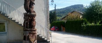
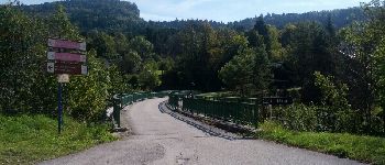
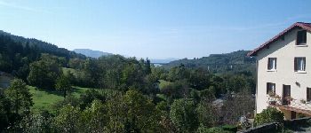
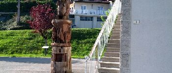
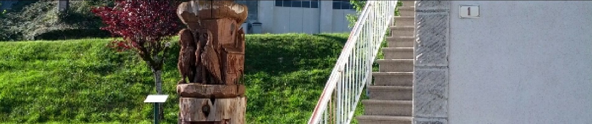
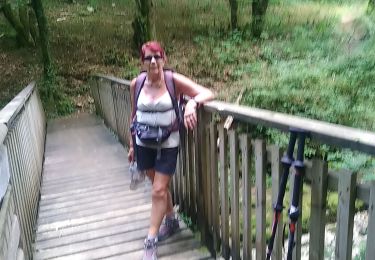
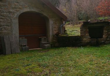
21 photos in total. Please click on a photo to see them all in the gallery.
Walking
Walking
Walking

Horseback riding
Walking
Walking
Walking
Walking
Walking
supze