


Gym 14 01 22

micheleuvrard
User
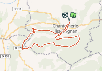

Length
10.6 km

Max alt
354 m

Uphill gradient
265 m
Km-Effort
14.1 km

Min alt
160 m

Downhill gradient
264 m
Boucle
Yes
Creation date :
2023-01-12 12:44:47.656
Updated on :
2023-01-12 15:56:09.005
3h10
Difficulty : Difficult

FREE GPS app for hiking
 SityTrail
IGN / Geographical institutes
SityTrail Plus
The world is yours!
About
Trail Walking of 10.6 km to be discovered at Auvergne-Rhône-Alpes, Drôme, Chantemerle-lès-Grignan. This trail is proposed by micheleuvrard.
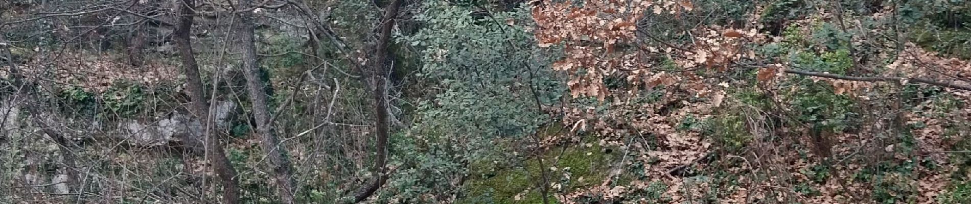
Photos


Positioning
Country:
France
Region :
Auvergne-Rhône-Alpes
Department/Province :
Drôme
Municipality :
Chantemerle-lès-Grignan
Location:
Unknown
Start:(Dec)
Start:(UTM)
646315 ; 4918604 (31T) N.
Comments