


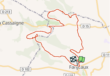

16.9 km | 21 km-effort

User


FREE GPS app for hiking
 SityTrail
IGN / Geographical institutes
SityTrail World
The world is yours!
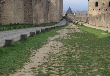
Trail Walking of 13.1 km to be discovered at Occitania, Aude, Fanjeaux. This trail is proposed by Mamilaure.
Très bien balisée.
Être très bien chaussé et ne pas oublier ses bâtons car quelques passages pentus qu peuvent être glissants.
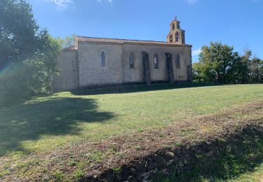
Terminer par la visite de Fanjeaux très beau village.


Walking

Walking

Mountain bike

Walking

Walking
Walking
Walking

Walking