


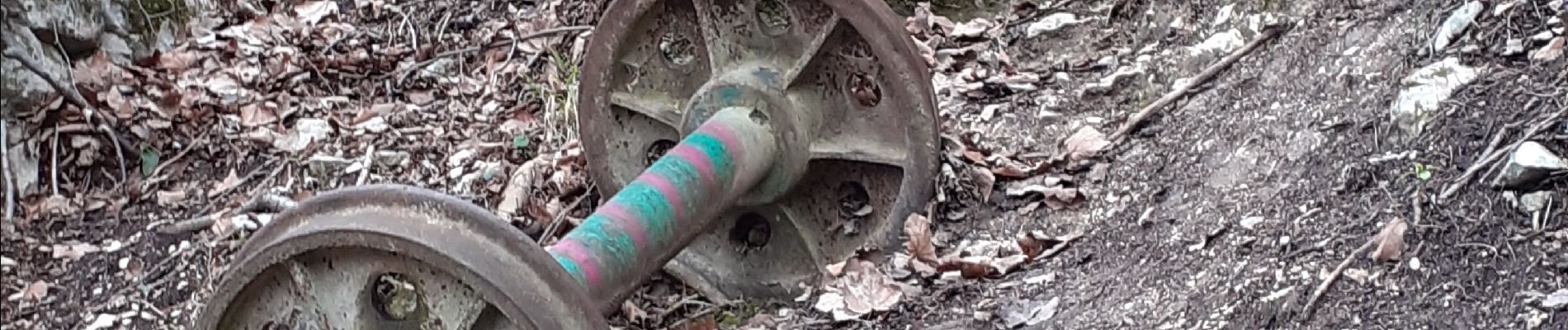
carriere de l'echaillon

cousam
User
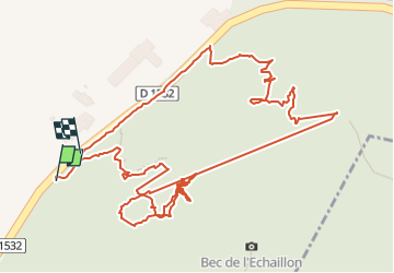

Length
2 km

Max alt
443 m

Uphill gradient
194 m
Km-Effort
4.6 km

Min alt
196 m

Downhill gradient
204 m
Boucle
Yes
Creation date :
2023-01-14 12:36:56.271
Updated on :
2023-01-14 20:25:15.318
2h54
Difficulty : Difficult

FREE GPS app for hiking
 SityTrail
IGN / Geographical institutes
SityTrail Plus
The world is yours!
About
Trail Walking of 2 km to be discovered at Auvergne-Rhône-Alpes, Isère, Saint-Quentin-sur-Isère. This trail is proposed by cousam.
Photos


Positioning
Country:
France
Region :
Auvergne-Rhône-Alpes
Department/Province :
Isère
Municipality :
Saint-Quentin-sur-Isère
Location:
Unknown
Start:(Dec)
Start:(UTM)
703622 ; 5019437 (31T) N.
Comments