


rando challenge

bubuserge
User
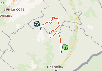

Length
8.1 km

Max alt
1275 m

Uphill gradient
255 m
Km-Effort
11.3 km

Min alt
1114 m

Downhill gradient
186 m
Boucle
No
Creation date :
2014-12-10 00:00:00.0
Updated on :
2020-05-16 14:33:12.328
2h58
Difficulty : Difficult

FREE GPS app for hiking
 SityTrail
IGN / Geographical institutes
SityTrail Plus
The world is yours!
About
Trail Walking of 8.1 km to be discovered at Bourgogne-Franche-Comté, Doubs, Chapelle-des-Bois. This trail is proposed by bubuserge.
Positioning
Country:
France
Region :
Bourgogne-Franche-Comté
Department/Province :
Doubs
Municipality :
Chapelle-des-Bois
Location:
Unknown
Start:(Dec)
Start:(UTM)
279653 ; 5166001 (32T) N.
Comments