


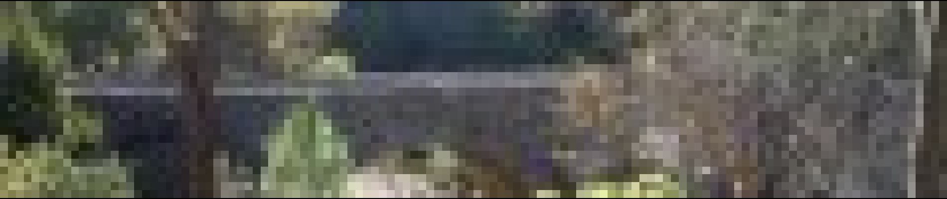
Entre chênaie et eau fraîche à Mialet

ARVIEU
User
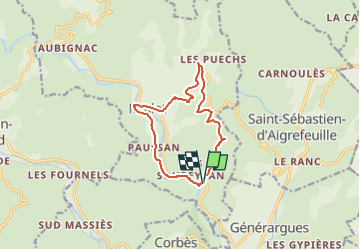

Length
11.5 km

Max alt
432 m

Uphill gradient
370 m
Km-Effort
16.4 km

Min alt
149 m

Downhill gradient
372 m
Boucle
Yes
Creation date :
2023-01-16 06:26:53.773
Updated on :
2023-01-16 06:33:12.868
4h00
Difficulty : Medium

FREE GPS app for hiking
 SityTrail
IGN / Geographical institutes
SityTrail Plus
The world is yours!
About
Trail Walking of 11.5 km to be discovered at Occitania, Gard, Mialet. This trail is proposed by ARVIEU.
Photos

Points of interest


Positioning
Country:
France
Region :
Occitania
Department/Province :
Gard
Municipality :
Mialet
Location:
Unknown
Start:(Dec)
Start:(UTM)
576982 ; 4882588 (31T) N.
Comments