


Barbentane - Saint Marthe

rando30129
User
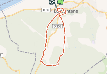

Length
8.1 km

Max alt
92 m

Uphill gradient
137 m
Km-Effort
9.9 km

Min alt
17 m

Downhill gradient
137 m
Boucle
Yes
Creation date :
2023-01-17 12:58:35.637
Updated on :
2025-03-08 17:32:25.011
2h15
Difficulty : Medium

FREE GPS app for hiking
 SityTrail
IGN / Geographical institutes
SityTrail Plus
The world is yours!
About
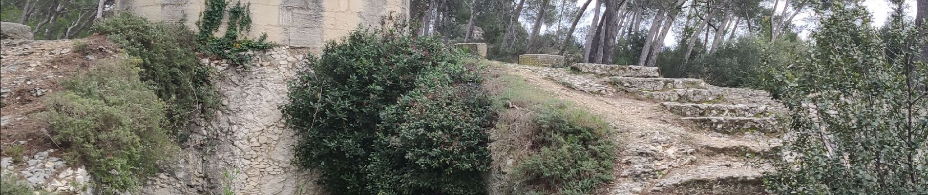
Trail Walking of 8.1 km to be discovered at Provence-Alpes-Côte d'Azur, Bouches-du-Rhône, Barbentane. This trail is proposed by rando30129.
Photos


Positioning
Country:
France
Region :
Provence-Alpes-Côte d'Azur
Department/Province :
Bouches-du-Rhône
Municipality :
Barbentane
Location:
Unknown
Start:(Dec)
Start:(UTM)
639899 ; 4862215 (31T) N.
Comments