


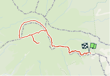

9.4 km | 14.9 km-effort


User


FREE GPS app for hiking
 SityTrail
IGN / Geographical institutes
SityTrail World
The world is yours!
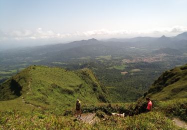
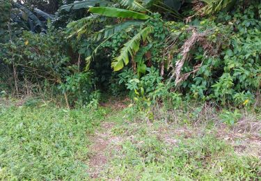
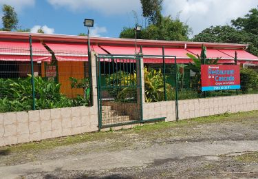
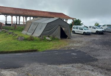
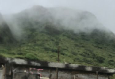
Trail Trail of 10.3 km to be discovered at Martinique, Unknown, L'Ajoupa-Bouillon. This trail is proposed by loic09.
Quelques allés et retour en mode Trail

Walking
Walking
Walking
Walking
Walking
Walking
Walking
Walking
Walking