


GR_70_AG_07_Mont-Lozere-Goulet_Cubieres_20140921

patrickdanilo
User
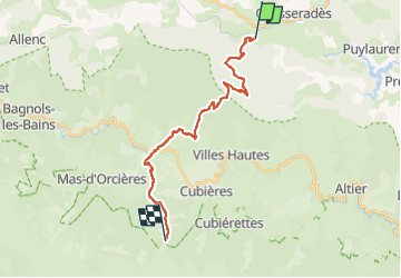

Length
19.8 km

Max alt
1418 m

Uphill gradient
802 m
Km-Effort
30 km

Min alt
1063 m

Downhill gradient
538 m
Boucle
No
Creation date :
2018-02-11 00:00:00.0
Updated on :
2022-11-02 14:53:14.379
6h12
Difficulty : Very difficult

FREE GPS app for hiking
 SityTrail
IGN / Geographical institutes
SityTrail Plus
The world is yours!
About
Trail Walking of 19.8 km to be discovered at Occitania, Lozère, Mont Lozère et Goulet. This trail is proposed by patrickdanilo.
Description
Randonnée Marche de 19 km à découvrir à Mont Lozère et Goulet, Lozère, Occitanie. Cette randonnée est proposée par patrickdanilo
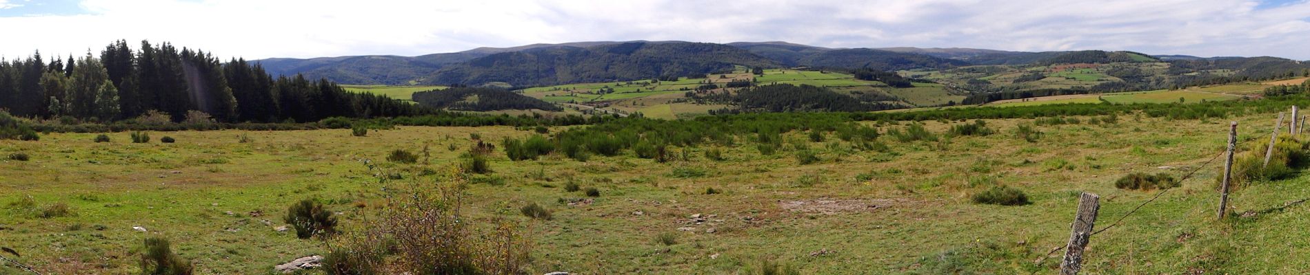
Photos


Positioning
Country:
France
Region :
Occitania
Department/Province :
Lozère
Municipality :
Mont Lozère et Goulet
Location:
Chasseradès
Start:(Dec)
Start:(UTM)
563794 ; 4932342 (31T) N.
Comments