


Rougiers

cousam
User
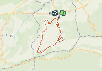

Length
14.6 km

Max alt
679 m

Uphill gradient
532 m
Km-Effort
22 km

Min alt
391 m

Downhill gradient
524 m
Boucle
Yes
Creation date :
2023-01-18 08:38:18.326
Updated on :
2023-01-18 16:28:07.861
7h38
Difficulty : Medium

FREE GPS app for hiking
 SityTrail
IGN / Geographical institutes
SityTrail Plus
The world is yours!
About
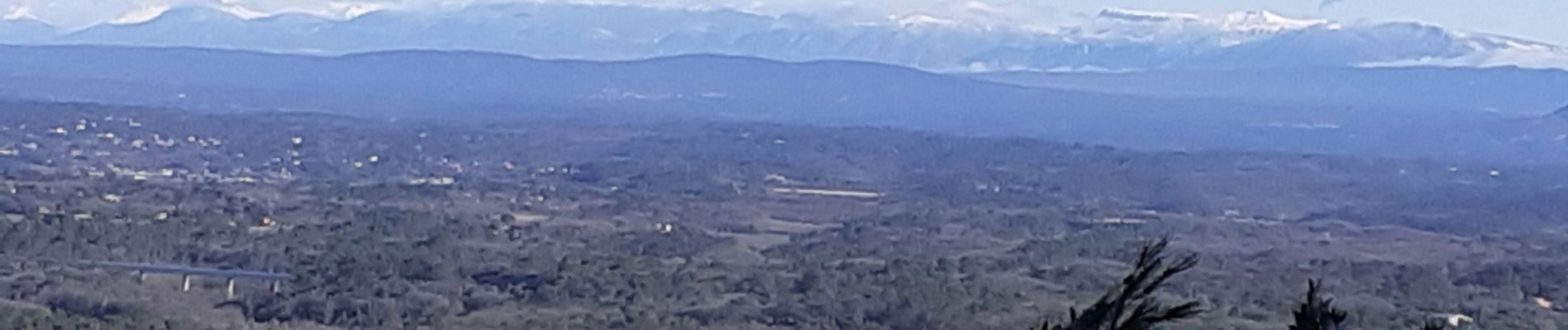
Trail Walking of 14.6 km to be discovered at Provence-Alpes-Côte d'Azur, Var, Rougiers. This trail is proposed by cousam.
Photos

Positioning
Country:
France
Region :
Provence-Alpes-Côte d'Azur
Department/Province :
Var
Municipality :
Rougiers
Location:
Unknown
Start:(Dec)
Start:(UTM)
731217 ; 4807803 (31T) N.
Comments