


Refuge Ricou - Refuge Drayère

dewasseigean
User

Length
5.6 km

Max alt
2178 m

Uphill gradient
274 m
Km-Effort
9 km

Min alt
1897 m

Downhill gradient
209 m
Boucle
No
Creation date :
2023-01-20 16:00:19.622
Updated on :
2023-01-20 16:01:03.059
0m
Difficulty : Very easy

FREE GPS app for hiking
 SityTrail
IGN / Geographical institutes
SityTrail Plus
The world is yours!
About
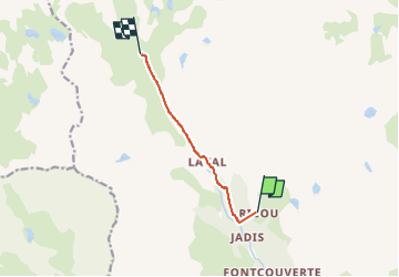
Trail Touring skiing of 5.6 km to be discovered at Provence-Alpes-Côte d'Azur, Hautes-Alpes, Névache. This trail is proposed by dewasseigean.
Description
Easy all way up via the road.
Positioning
Country:
France
Region :
Provence-Alpes-Côte d'Azur
Department/Province :
Hautes-Alpes
Municipality :
Névache
Location:
Unknown
Start:(Dec)
Start:(UTM)
306596 ; 4991050 (32T) N.
Comments