


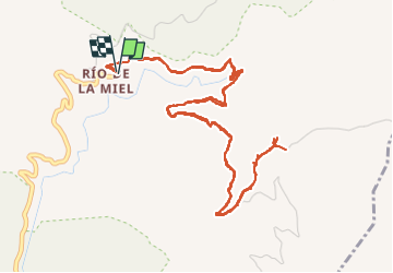
Rio de la miel Hoya Quintana

jpipacific
User


3h00
Difficulty : Medium

FREE GPS app for hiking
 SityTrail
IGN / Geographical institutes
SityTrail Plus
The world is yours!
About
Trail Walking of 8.7 km to be discovered at Andalusia, Malaga, Nerja. This trail is proposed by jpipacific.
Description
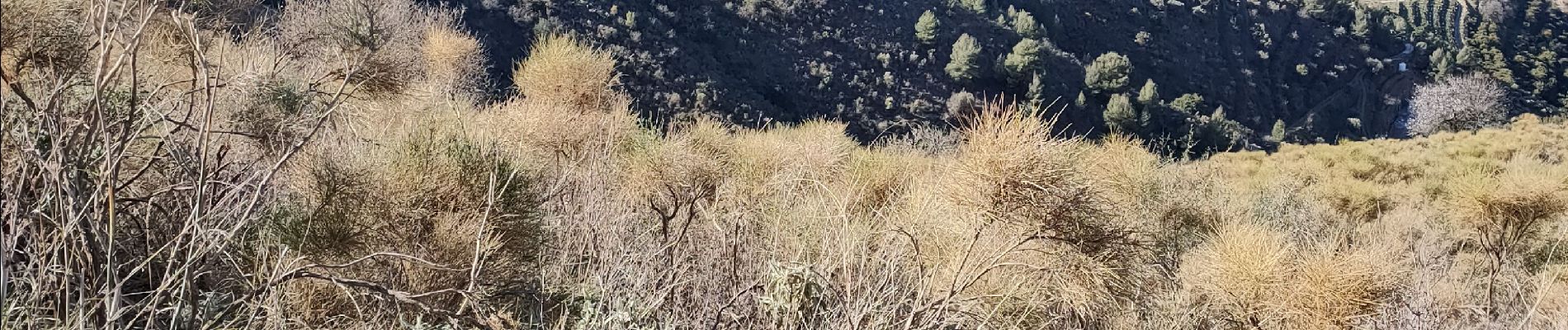
Montée et descente par un chemin très bien tracé.
De jolies vues sur les montagnes jusqu'à Malaga et sur la mer et ses criques.
Je voulais faire un circuit en boucle mais le chemin de retour est coupé par une habitation et une clôture pour un champs d'avocat. J'ai du faire aller/retour.
Photos


Positioning
Comments