


rigoues. Ventabren

nana1643
User

Length
10.1 km

Max alt
232 m

Uphill gradient
149 m
Km-Effort
12.1 km

Min alt
157 m

Downhill gradient
148 m
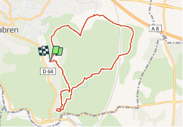
Boucle
Yes
Creation date :
2023-01-22 09:04:04.39
Updated on :
2023-01-25 11:58:26.308
2h41
Difficulty : Easy

FREE GPS app for hiking
 SityTrail
IGN / Geographical institutes
SityTrail Plus
The world is yours!
About
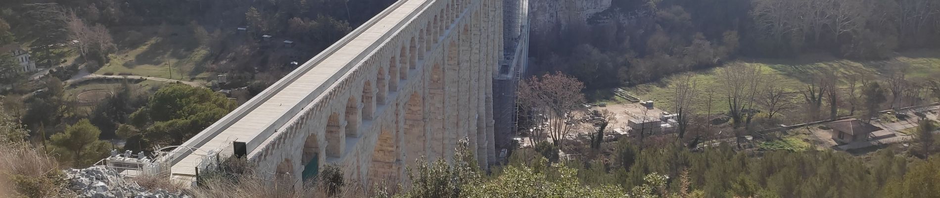
Trail Walking of 10.1 km to be discovered at Provence-Alpes-Côte d'Azur, Bouches-du-Rhône, Ventabren. This trail is proposed by nana1643.
Photos

Positioning
Country:
France
Region :
Provence-Alpes-Côte d'Azur
Department/Province :
Bouches-du-Rhône
Municipality :
Ventabren
Location:
Unknown
Start:(Dec)
Start:(UTM)
686648 ; 4822315 (31T) N.
Comments