


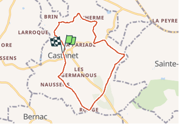
Chemin Des Moines Castanet

chripaci
User

Length
8.1 km

Max alt
282 m

Uphill gradient
193 m
Km-Effort
10.7 km

Min alt
187 m

Downhill gradient
192 m
Boucle
Yes
Creation date :
2023-01-27 13:01:17.0
Updated on :
2023-01-27 15:07:02.612
1h53
Difficulty : Medium

FREE GPS app for hiking
 SityTrail
IGN / Geographical institutes
SityTrail Plus
The world is yours!
About
Trail Nordic walking of 8.1 km to be discovered at Occitania, Tarn, Castanet. This trail is proposed by chripaci.
Description
Marche Nordique
Positioning
Country:
France
Region :
Occitania
Department/Province :
Tarn
Municipality :
Castanet
Location:
Unknown
Start:(Dec)
Start:(UTM)
422145 ; 4869587 (31T) N.
Comments