


Obernai - Boersch

Bart2015
User
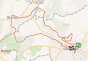

Length
12.7 km

Max alt
318 m

Uphill gradient
216 m
Km-Effort
15.6 km

Min alt
180 m

Downhill gradient
216 m
Boucle
Yes
Creation date :
2023-01-28 09:47:41.276
Updated on :
2023-01-30 18:19:20.689
2h20
Difficulty : Medium

FREE GPS app for hiking
 SityTrail
IGN / Geographical institutes
SityTrail Plus
The world is yours!
About
Trail Walking of 12.7 km to be discovered at Grand Est, Bas-Rhin, Obernai. This trail is proposed by Bart2015.
Description
Petite balade autour d'Obernai pour découvrir la ville d'en haut et d'en bas.
Bonne rando ...
Photos


Positioning
Country:
France
Region :
Grand Est
Department/Province :
Bas-Rhin
Municipality :
Obernai
Location:
Unknown
Start:(Dec)
Start:(UTM)
387974 ; 5368675 (32U) N.
Comments