Trail Walking Venoy - La Coudre - La Coudre  par Montpierreux - Photo

La Coudre - La Coudre par Montpierreux

 JMC89
JMC89

User

© OpenStreetMap contributors
Length
Length
8.6 km
Max alt
Max alt
272 m
Uphill gradient
Uphill gradient
184 m
Km-Effort
Km-Effort  
11 km
Min alt
Min alt
175 m
Downhill gradient
Downhill gradient
181 m
Boucle
Boucle
Yes
Creation date :
2023-01-30 15:34:15.431
Updated on :
2023-01-30 16:05:12.519

(0 Reviews)

Walking
Walking
2h52
Difficulty : Difficult

Scan this QR Code to open this trail in the SityTrail application

FREE GPS app for hiking

Logo SityTrail SityTrail

IGN / Geographical institutes

Download SityTrail from the App Store Download SityTrail from Google Play

Logo SityTrail SityTrail World

The world is yours!

Download SityTrail from the App Store Download SityTrail from Google Play Download SityTrail on Huawei AppGallery

About

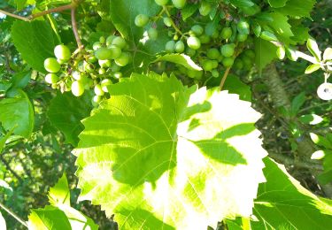
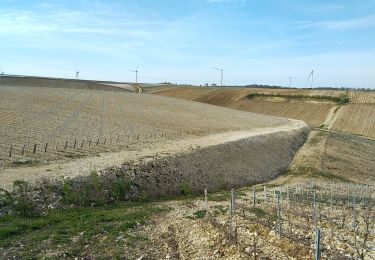
Trail Walking of 8.6 km to be discovered at Bourgogne-Franche-Comté, Yonne, Venoy. This trail is proposed by JMC89.

Description

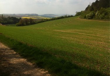
Départ du parking du Restaurant la Coudre en direction de Bleigny Le Carreaux, Prendre à droite direction Beines, Longer la D965 la traverser à hauteur du croisement de Montpierreux .Descendre jusqu'en bas de la vallée traversez la route menant à Montallery et remonter en direction de l'aire d'autoroute. Suivre ensuite la route  le long de l'autoroute,route menant à la D965. Traverser celle-ci à hauteur du carrefour menant à Venoy, Prendre ensuite à droite direction La coudre
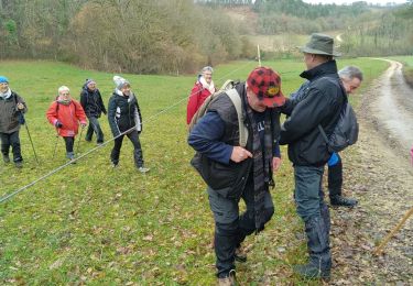
Elevation profile

Positioning

Country:
France
Region :
Bourgogne-Franche-Comté
Department/Province :
Yonne
Municipality :
Venoy
Location:
Unknown
Start:(UTM)
549459 ; 5294523 (31T) N.

Trails nearby

Trail Walking Quenne - Boucle de 9,4 km à Quenne 89 - Photo
Walking
HF89

Walking

Medium
Quenne, Bourgogne-Franche-Comté, Yonne, France
9.5 km | 11.9 km-effort
2h 17min
Yes
Trail Walking Venoy - la coudre - Photo
Walking
gpcadu

Walking

Medium
Venoy, Bourgogne-Franche-Comté, Yonne, France
8.8 km | 11.2 km-effort
1h 6min
No
Trail Electric bike Auxerre - Auxerre - Vigne canal - Jussy - Photo
Electric bike
gpcadu

Electric bike

Very easy
Auxerre, Bourgogne-Franche-Comté, Yonne, France
38 km | 42 km-effort
2h 4min
No
Trail Walking Venoy - AVF - Beines 20-04-2022 - Photo
Walking
gpcadu

Walking

Very difficult
Venoy, Bourgogne-Franche-Comté, Yonne, France
8.7 km | 10.8 km-effort
4h 31min
Yes
Trail Walking Chitry - marche chitry 2014 - Photo
Walking
theo89

Walking

Medium
Chitry, Bourgogne-Franche-Comté, Yonne, France
19.8 km | 26 km-effort
3h 55min
Yes
Trail Walking Chitry - chitry - Photo
Walking
Dominique Noel

Walking

Difficult
Chitry, Bourgogne-Franche-Comté, Yonne, France
9.1 km | 12.6 km-effort
2h 35min
Yes
Trail Walking Venoy - venoy - Photo
Walking
Anne Mercuzot

Walking

Medium
Venoy, Bourgogne-Franche-Comté, Yonne, France
7.6 km | 9.4 km-effort
1h 54min
Yes
Trail Walking Venoy - de la Coudre à la Coudre par les éolienne de Montallery - Photo
Walking
JMC89

Walking

Difficult
Venoy, Bourgogne-Franche-Comté, Yonne, France
11.2 km | 13.8 km-effort
3h 7min
Yes
Trail Walking Champs-sur-Yonne - Augy - Champs laPoire - Photo
Walking
JMC89

Walking

Medium
Champs-sur-Yonne, Bourgogne-Franche-Comté, Yonne, France
8.2 km | 9.4 km-effort
2h 28min
Yes


Close
My subscriptions