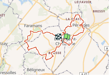

6 km | 7.4 km-effort

User


FREE GPS app for hiking
 SityTrail
IGN / Geographical institutes
SityTrail World
The world is yours!
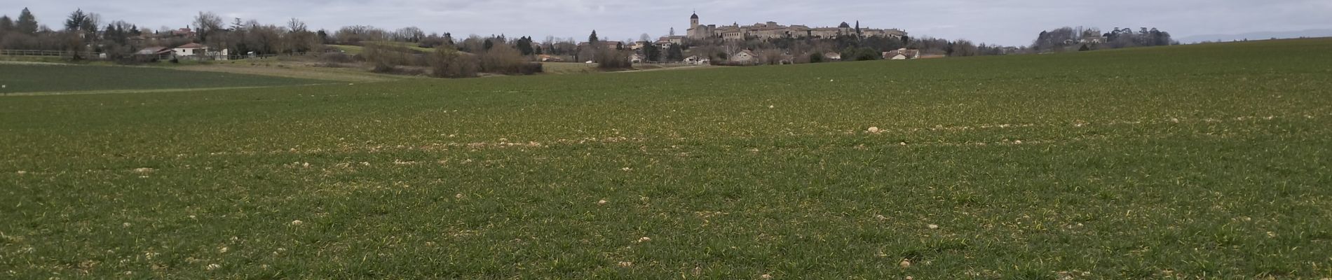
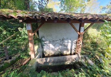
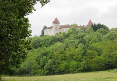
Trail Walking of 24 km to be discovered at Auvergne-Rhône-Alpes, Ain, Bourg-Saint-Christophe. This trail is proposed by SyMA.
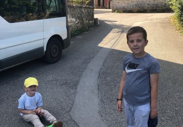
Départ cimetiere de Bourg St Christophe
Restau Bienvenu chez Francky
Passage par Perouges pour galette de Perouges


Walking
Walking
Walking
Mountain bike

Horseback riding


sport
sport
Walking