


Caussols de l'Enbarnier

GrouGary
User
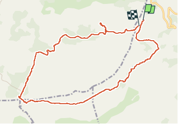

Length
12.6 km

Max alt
1337 m

Uphill gradient
369 m
Km-Effort
17.5 km

Min alt
1093 m

Downhill gradient
362 m
Boucle
No
Creation date :
2023-02-03 08:40:18.412
Updated on :
2023-03-26 10:55:10.391
4h29
Difficulty : Very easy

FREE GPS app for hiking
 SityTrail
IGN / Geographical institutes
SityTrail Plus
The world is yours!
About
Trail Walking of 12.6 km to be discovered at Provence-Alpes-Côte d'Azur, Maritime Alps, Gourdon. This trail is proposed by GrouGary.
Description
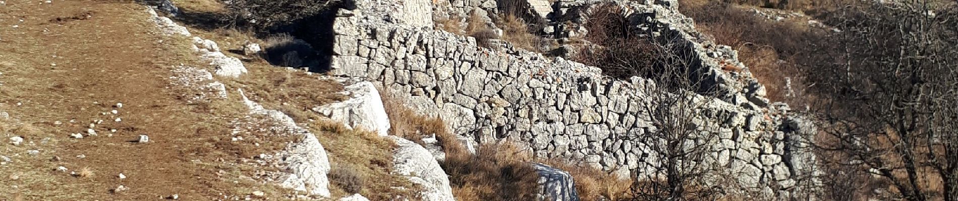
"Village nègre" vers le point 1165 (masqué partiellement par les arbres)
Photos


Positioning
Country:
France
Region :
Provence-Alpes-Côte d'Azur
Department/Province :
Maritime Alps
Municipality :
Gourdon
Location:
Unknown
Start:(Dec)
Start:(UTM)
334274 ; 4844291 (32T) N.
Comments