


Mont Vinaigre

jpb83
User

Length
7.2 km

Max alt
596 m

Uphill gradient
299 m
Km-Effort
11.2 km

Min alt
352 m

Downhill gradient
297 m
Boucle
Yes
Creation date :
2023-02-03 18:36:02.419
Updated on :
2023-02-03 18:36:03.231
2h32
Difficulty : Easy

FREE GPS app for hiking
 SityTrail
IGN / Geographical institutes
SityTrail Plus
The world is yours!
About
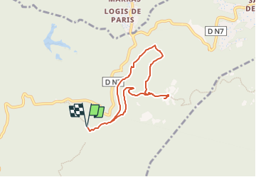
Trail Walking of 7.2 km to be discovered at Provence-Alpes-Côte d'Azur, Var, Fréjus. This trail is proposed by jpb83.
Positioning
Country:
France
Region :
Provence-Alpes-Côte d'Azur
Department/Province :
Var
Municipality :
Fréjus
Location:
Unknown
Start:(Dec)
Start:(UTM)
322209 ; 4818368 (32T) N.
Comments