


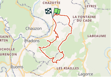
Les crêtes du grand travers Balazuc

Roger Philippe Wallez
User GUIDE

Length
16.4 km

Max alt
375 m

Uphill gradient
453 m
Km-Effort
22 km

Min alt
138 m

Downhill gradient
448 m
Boucle
Yes
Creation date :
2023-02-11 08:21:37.0
Updated on :
2023-02-11 14:18:15.689
5h18
Difficulty : Very difficult

FREE GPS app for hiking
 SityTrail
IGN / Geographical institutes
SityTrail Plus
The world is yours!
About
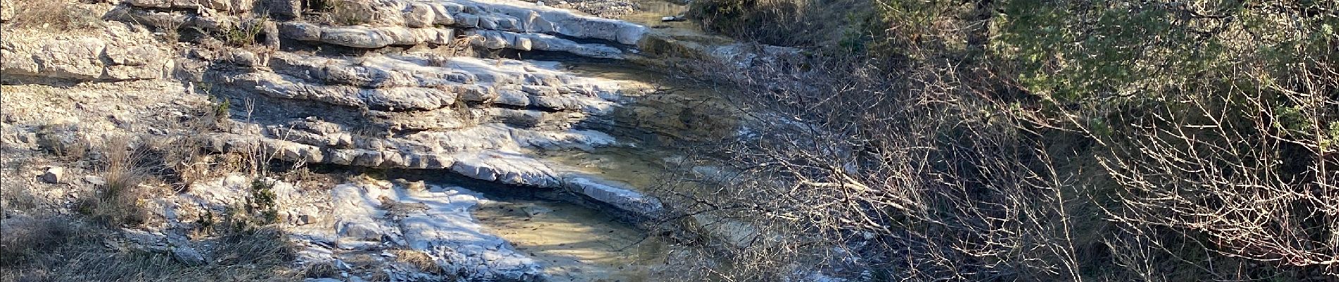
Trail Walking of 16.4 km to be discovered at Auvergne-Rhône-Alpes, Ardèche, Balazuc. This trail is proposed by Roger Philippe Wallez.
Photos


Positioning
Country:
France
Region :
Auvergne-Rhône-Alpes
Department/Province :
Ardèche
Municipality :
Balazuc
Location:
Unknown
Start:(Dec)
Start:(UTM)
609775 ; 4927528 (31T) N.
Comments