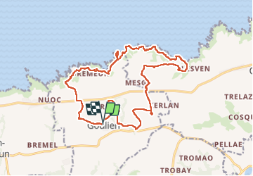

9.5 km | 12.2 km-effort

User


FREE GPS app for hiking
 SityTrail
IGN / Geographical institutes
SityTrail World
The world is yours!
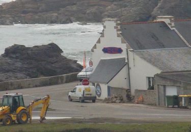
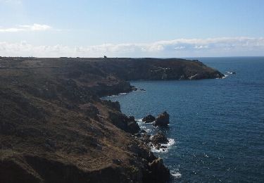
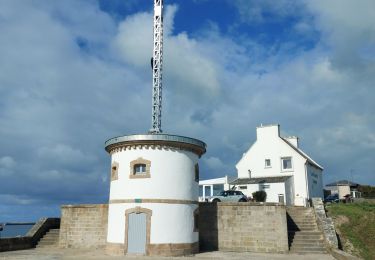
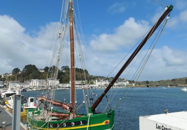
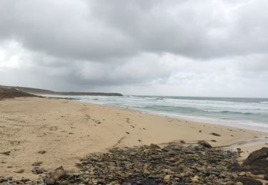
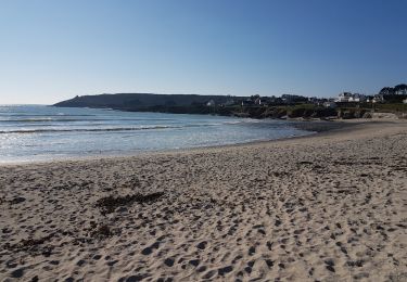
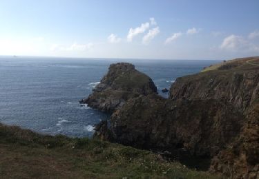
Trail Walking of 19.6 km to be discovered at Brittany, Finistère, Goulien. This trail is proposed by RonanDAGORN.
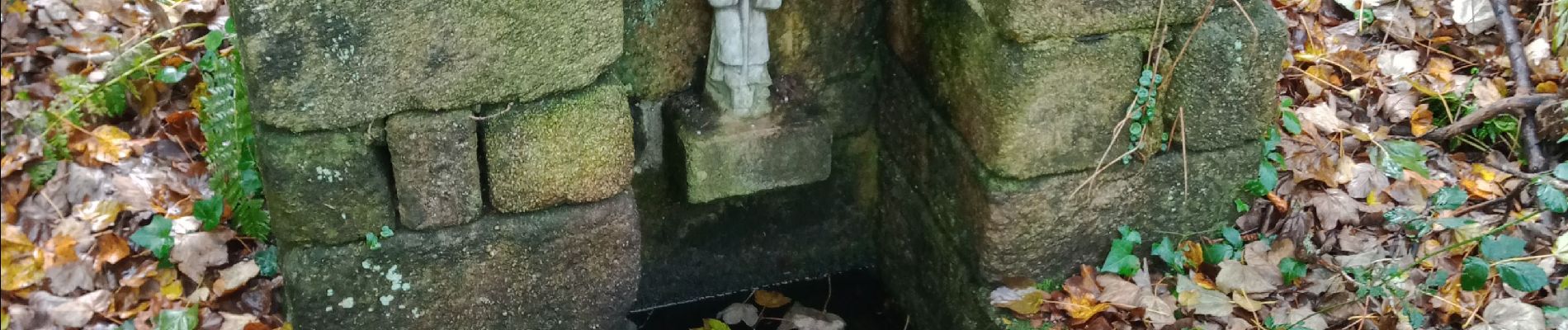
le chemin de Goulien et le GR 34


Other activity
Walking
Walking

Walking
Walking
Walking
Walking