


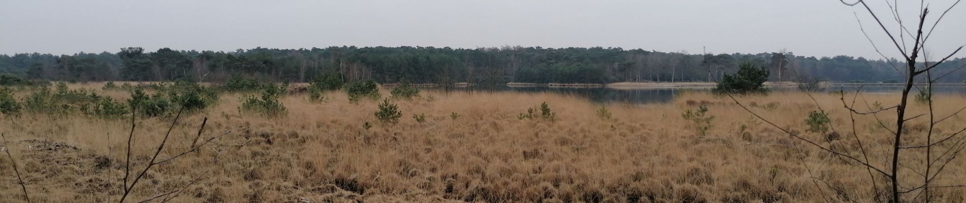
Kalmthout heide

Ronalddef
User


Length
7.3 km

Max alt
32 m

Uphill gradient
53 m
Km-Effort
8 km

Min alt
17 m

Downhill gradient
45 m
Boucle
No
Creation date :
2023-02-12 14:17:12.971
Updated on :
2023-02-12 15:58:23.025
1h30
Difficulty : Medium

FREE GPS app for hiking
 SityTrail
IGN / Geographical institutes
SityTrail Plus
The world is yours!
About
Trail Walking of 7.3 km to be discovered at Flanders, Antwerp, Kalmthout. This trail is proposed by Ronalddef.
Photos


Positioning
Country:
Belgium
Region :
Flanders
Department/Province :
Antwerp
Municipality :
Kalmthout
Location:
Unknown
Start:(Dec)
Start:(UTM)
598126 ; 5696397 (31U) N.
Comments