


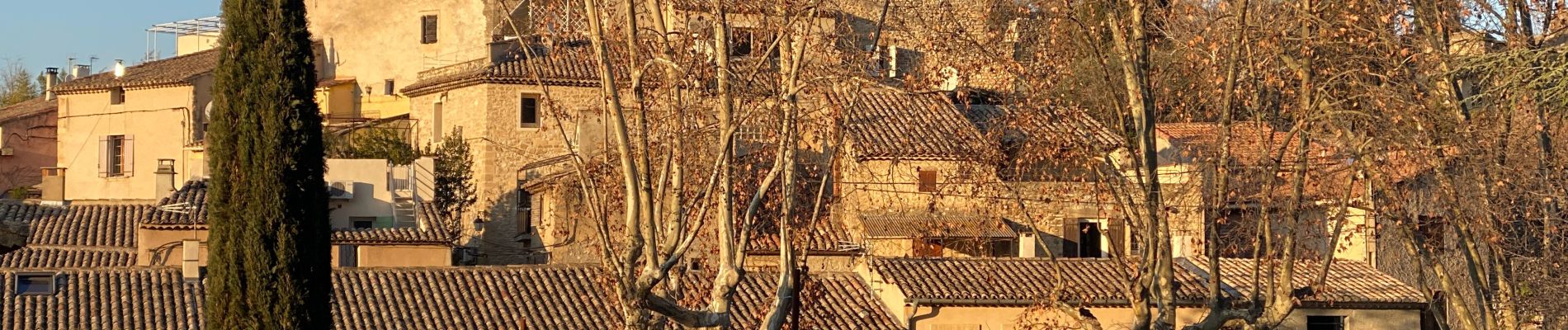
Robion

Roger Philippe Wallez
User GUIDE
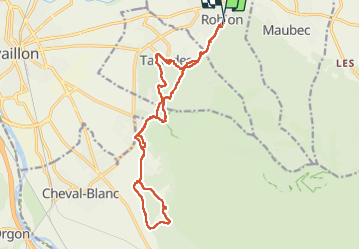

Length
19 km

Max alt
191 m

Uphill gradient
400 m
Km-Effort
24 km

Min alt
96 m

Downhill gradient
396 m
Boucle
Yes
Creation date :
2023-02-12 09:03:30.0
Updated on :
2023-02-12 16:18:02.527
6h02
Difficulty : Very difficult

FREE GPS app for hiking
 SityTrail
IGN / Geographical institutes
SityTrail Plus
The world is yours!
About
Trail Walking of 19 km to be discovered at Provence-Alpes-Côte d'Azur, Vaucluse, Robion. This trail is proposed by Roger Philippe Wallez.
Photos


Positioning
Country:
France
Region :
Provence-Alpes-Côte d'Azur
Department/Province :
Vaucluse
Municipality :
Robion
Location:
Unknown
Start:(Dec)
Start:(UTM)
669814 ; 4856601 (31T) N.
Comments