


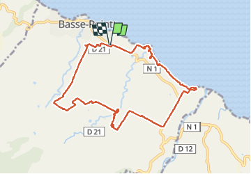

8.5 km | 11.9 km-effort

User GUIDE


FREE GPS app for hiking
 SityTrail
IGN / Geographical institutes
SityTrail World
The world is yours!
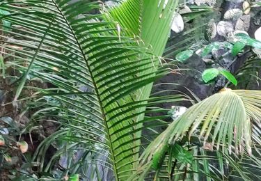
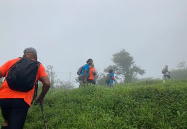
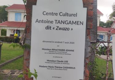
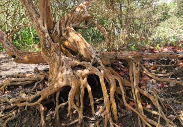
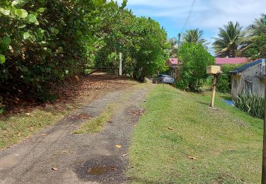
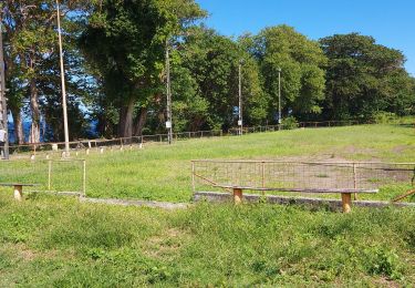
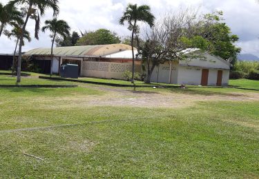
Trail Walking of 13.2 km to be discovered at Martinique, Unknown, Basse-Pointe. This trail is proposed by Lamartiniere.
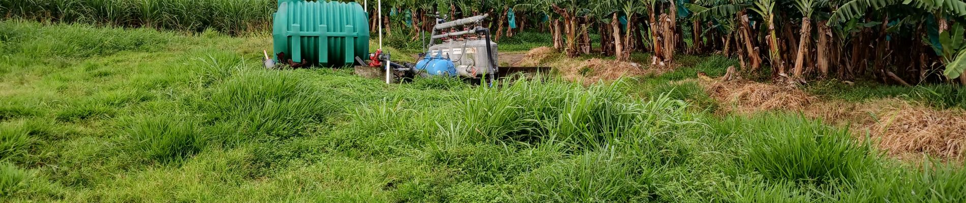
- Cette randonnée sur exploitations agricoles de Basse-Pointe,
au Nord, nécessite obligatoirement des autorisations de
passages.
- Document d'assurance pour les associations en règle.
- Suivre les recommandations et les règles relatives à la sécurité et à l'hygiène (pas de détritus, etc.)


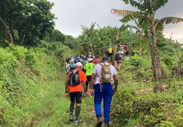
Walking
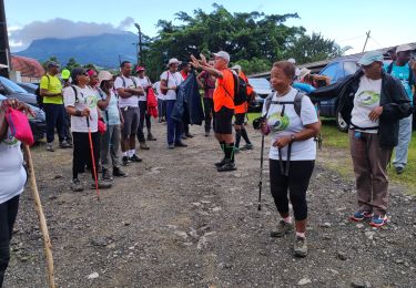
Walking
Walking
Walking
Walking
Walking
Walking
Walking
Walking