


La Charbonnière 230214

Specialized77
User GUIDE


Length
7.8 km

Max alt
199 m

Uphill gradient
193 m
Km-Effort
10.4 km

Min alt
108 m

Downhill gradient
192 m
Boucle
Yes
Creation date :
2023-02-14 14:27:57.274
Updated on :
2023-02-16 08:21:07.28
3h02
Difficulty : Easy

FREE GPS app for hiking
 SityTrail
IGN / Geographical institutes
SityTrail Plus
The world is yours!
About
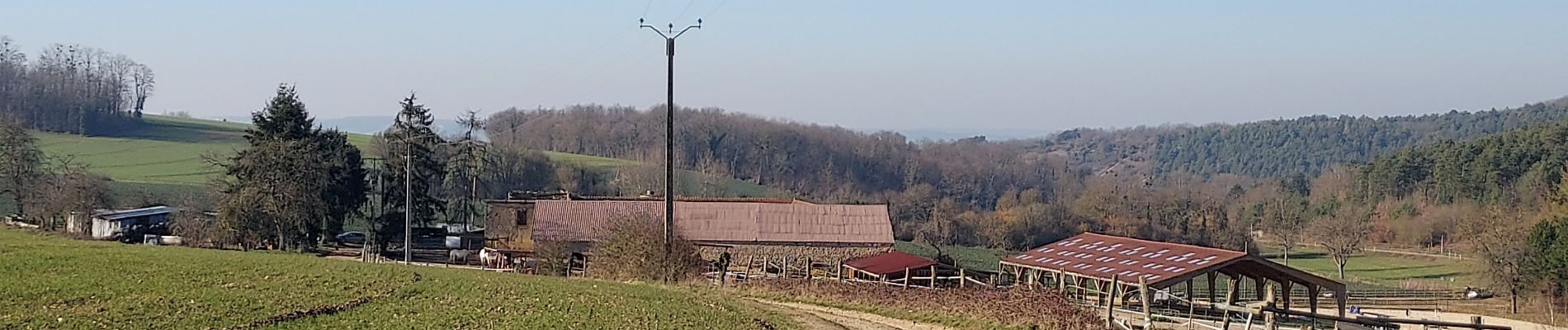
Trail Walking of 7.8 km to be discovered at Bourgogne-Franche-Comté, Yonne, Rosoy. This trail is proposed by Specialized77.
Description
Jolie randonnée au départ du centre équestre de La Charbonnière dans un paysage très vallonné et la traversée de deux jolis petits villages.
Photos


Positioning
Country:
France
Region :
Bourgogne-Franche-Comté
Department/Province :
Yonne
Municipality :
Rosoy
Location:
Unknown
Start:(Dec)
Start:(UTM)
524534 ; 5331906 (31U) N.
Comments